Remote Sensing
January 29, 2025 • 9 min read • remote sensing
Landsat 8 & Advanced Modified Bare Soil Index
Advanced bare soil detection using remote sensing and the Modified Bare Soil Index.
January 27, 2025 • 7 min read • burn mapping
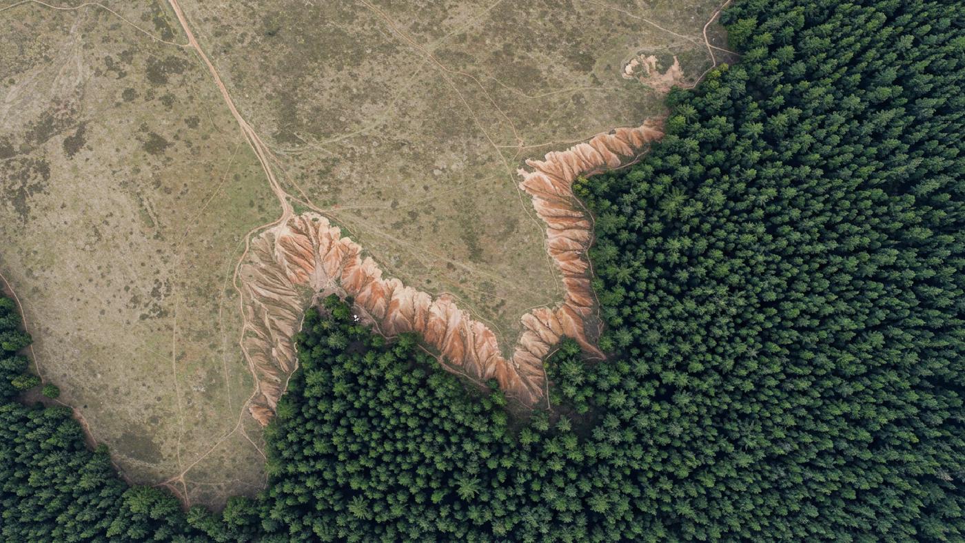
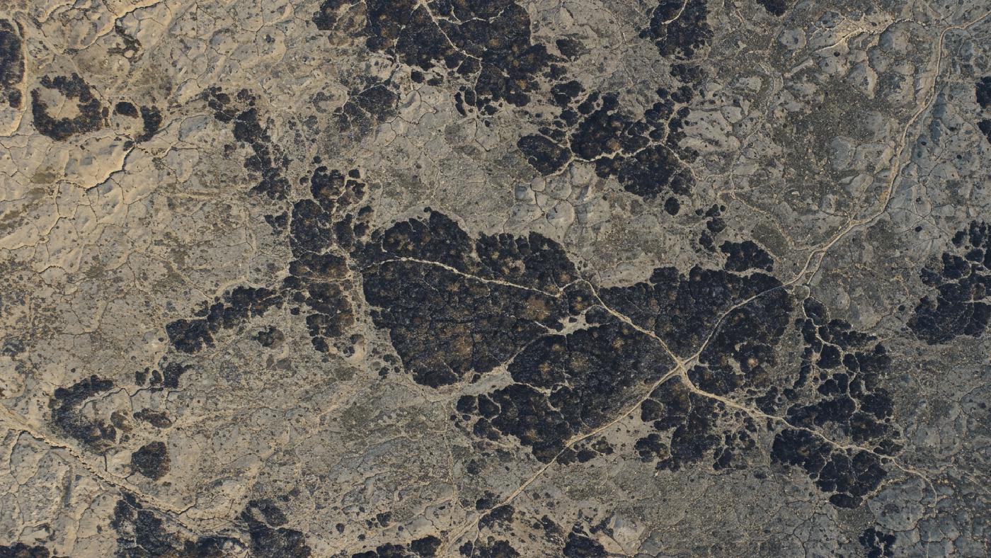
Open-Source GIS for Post-Fire Analysis
Scale burn severity: drone maps to satellite. Open-source GIS, Python for post-fire analysis.
June 8, 2024 • 7 min read • remote sensing
High-Res Insights: Sentinel-2 Multispectral Imagery
Sentinel-2: Exploring Earth’s surface analysis with multispectral data.
May 5, 2024 • 17 min read • remote sensing
Create Land Cover Maps Like a Pro: Using Sentinel-2 and Machine Learning
Land cover classification using Sentinel-2 imagery and applying supervised minimum distance algorithm and machine learning approaches
Spatial Tech