GIS
February 13, 2025 • 11 min read • gis
Logistic Regression for GIS: A Technical Guide
Explore logistic regression in GIS. Learn to handle uncertainties & improve spatial analysis.
February 9, 2025 • 8 min read • shortest path
Shortest Path Algorithms in GIS Route Planning
Shortest path algorithms in GIS for optimal routing. Explore graph theory & spatial data insights.
February 3, 2025 • 12 min read • graph theory
GIS Data Modeling using Graphs Theory: Applications in GIS
Explore how graph theory powers GIS: network analysis, spatial relationships & route planning for data insight
January 31, 2025 • 10 min read • wind resource assessment
Geospatial Wind Resource Assessment: WRAs with GIS
Geospatial tech for wind energy assessment, from resource mapping to turbine optimization and future strategies.
January 30, 2025 • 8 min read • gis
MCDM in GIS: Mapping Aquaponics Suitability
Explore GIS and MCDA for optimal aquaponics site selection. Learn key factors and methodologies for sustainable farming.
January 28, 2025 • 9 min read • urban farming
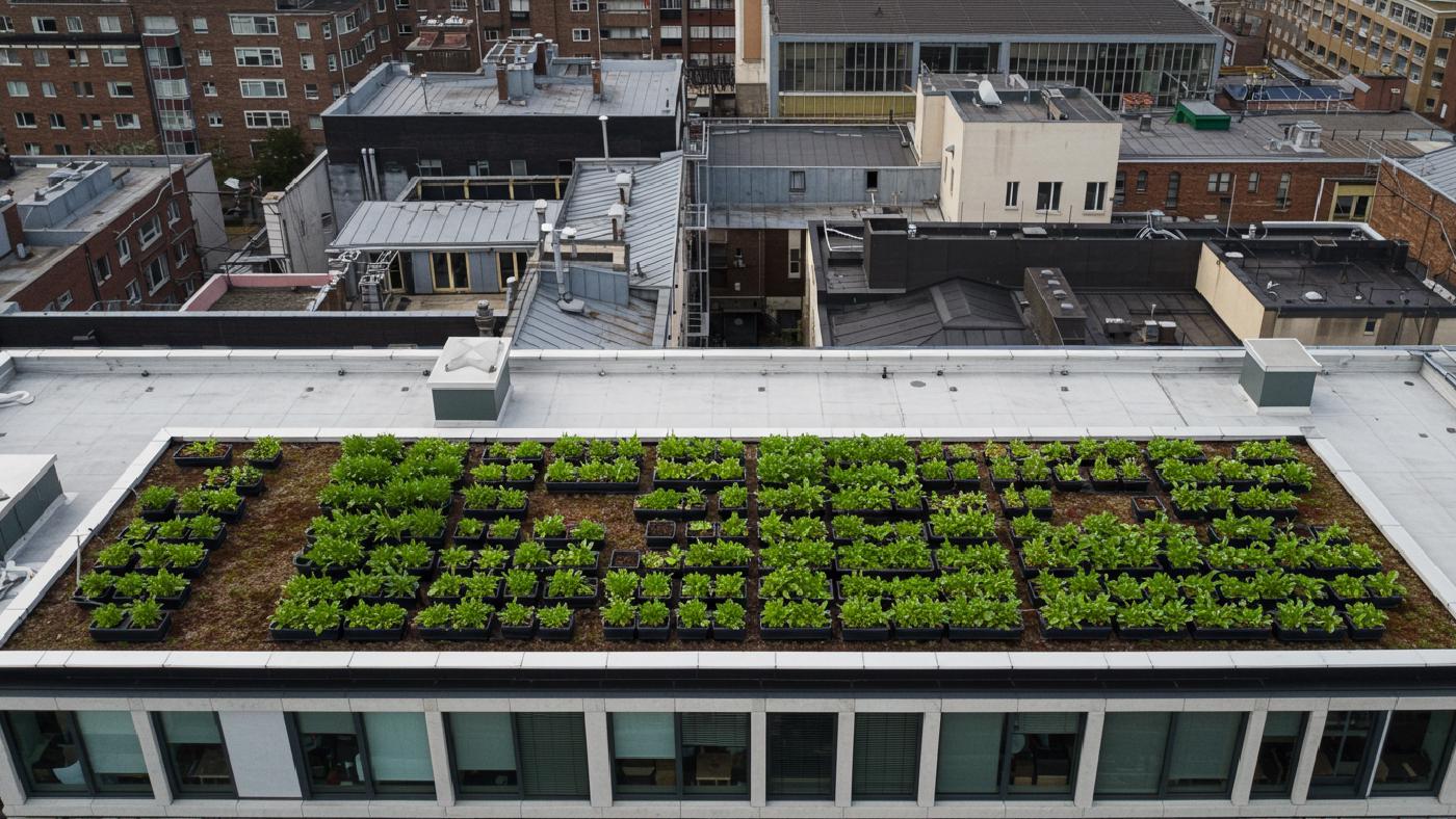
GIS and Crop Modeling for Urban Farming Potential
Explore urban farming with GIS, crop models. See how tech boosts rooftop agriculture yield.
January 25, 2025 • 10 min read • urban traffic analysis
Enhanced Urban Planning Using Deep Learning Methods: Dashcam Video Analytics
AI analysis of dashcam video provides a new way to measure pedestrian traffic & improve urban planning
January 24, 2025 • 8 min read • urban planning
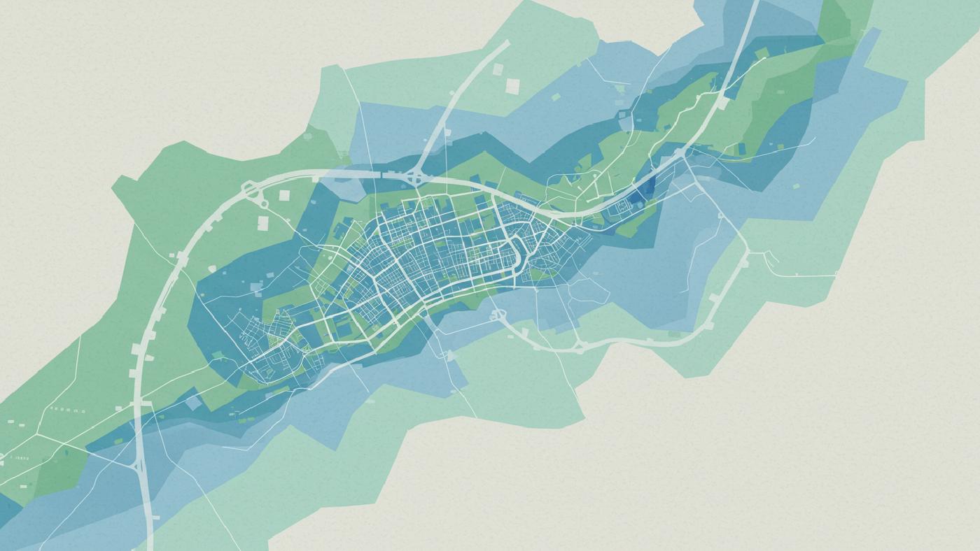
Geospatial Analysis of Urban Space Vitality: Blue-Green Spaces and Geographic Detectors
How geospatial tech & big data enhance urban blue-green space vitality. Learn spatial analysis for better cities
January 22, 2025 • 10 min read • Geospatial
Measuring Rail Accessibility: Isochrone Mapping in Transit Planning
Geospatial analysis of railway accessibility: tech, mapping, planning methods for transport networks
January 21, 2025 • 11 min read • parametric design
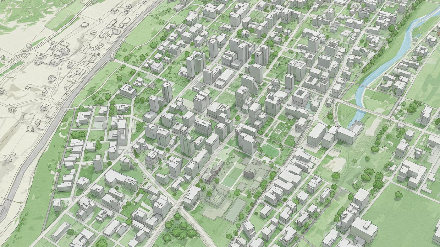
Parametric Urban Design Analysis with Spatial Insights
Urban design via parametric analysis, optimizing spatial efficiency & sustainability
Spatial Tech