MCDM in GIS: Mapping Aquaponics Suitability
Posted on January 30, 2025 • 8 min read • 1,527 wordsExplore GIS and MCDA for optimal aquaponics site selection. Learn key factors and methodologies for sustainable farming.
Finding the Perfect Spot: GIS for Sustainable Aquaponics
Aquaponics a system merging aquaculture and hydroponics, offers an eco-friendly approach to food production. It’s not a new concept yet is now experiencing considerable resurgence as a response to the rising demand for sustainable food solutions. Locating aquaponic facilities presents a unique challenge since the selection must consider a mix of factors. Geographical information systems (GIS), when combined with multi-criteria decision analysis (MCDA), emerge as crucial tools in this endeavor. These approaches helps us understand the numerous interconnected considerations that dictate ideal locations. This is especially true for innovative systems integrating multiple trophic levels which can be difficult to set up.
Location for Aquaponics
A successful aquaponic system hinges on proper site selection, necessitating the careful balance of multiple criteria, and is far more intricate than picking an empty plot of land. An optimal location not only enhances resource efficiency and minimizes waste, it must also ensure the long-term viability of such a system. Such locations depend not only on obvious environmental conditions like temperature or water availability, they are impacted by economic realities including accessibility and social factors like nearness to markets. GIS-MCDA provides structured ways to address such considerations. This tool goes beyond conventional methodologies offering nuanced views necessary for aquaponics site placement.

Combining GIS and MCDA
The pairing of GIS and MCDA offers a potent methodology to approach spatial analysis, essential to determining a site’s suitability. Geographic information system facilitates management, the analysis and visualization of many location-related data which must all be factored. Simultaneously multi criteria decision analysis creates structured approach for the evaluation of multiple factors concurrently. Combining these helps to analyze spatial factors and then rank their suitability in regard to the planned development of an aquaponics setup. This method provides transparency through decision-making while handling complicated data. The use of weighted linear combinations in GIS tools can be a helpful method. Such combinations enhance practical applications by adjusting impact each criterion has in its total score. Such processes create maps showing levels of suitability for different locations.
Step by Step in GIS-MCDA Implementation
Let’s consider that building of an optimal GIS-MCDA tool must incorporate a few core components:
Defining Criteria: Identify relevant criteria critical for aquaponics which fall into categories including:
- Natural resources—like water availability or appropriate temperature, both critical to plant/fish health.
- Socioeconomic—income, nearness to consumer centers.
- Infrastructural—proximity to roads/electricity.
- Environmental restraints, human factors.
Gathering Spatial Data: Accumulating detailed geospatial data for chosen locations on land use or population density, all vital for decision making in real-world setting.
Applying Weights: Assess each chosen criterion by giving weight based on its comparative importance in determining best suited aquaponic location using analytical techniques that reflect expertise.
Data Standardization: All factors using comparable scales after converting varied spatial data into uniform formats using spatial tools.
Boolean Logic Application: Applying logic where set constraints that automatically eliminate unusable locations according to pre defined criteria which greatly enhances the process of site screening by eliminating unsuitable lands directly.

Critical Factors in Aquaponic Site Selection
Certain location aspects greatly impact success for aquaponics system:
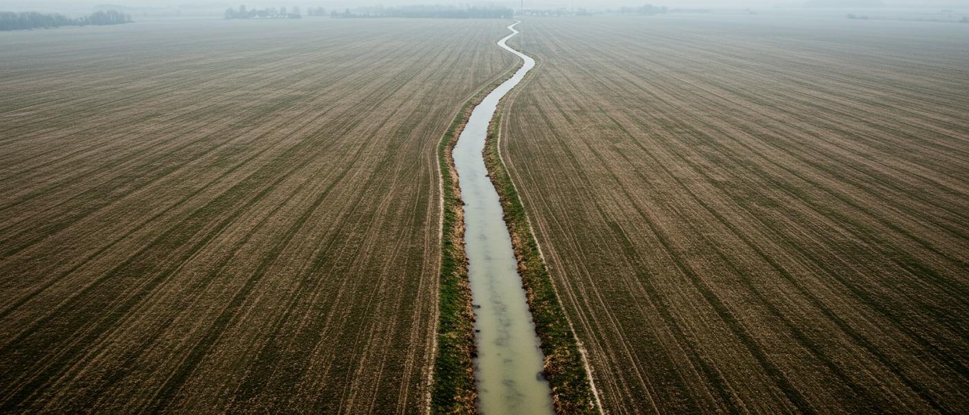
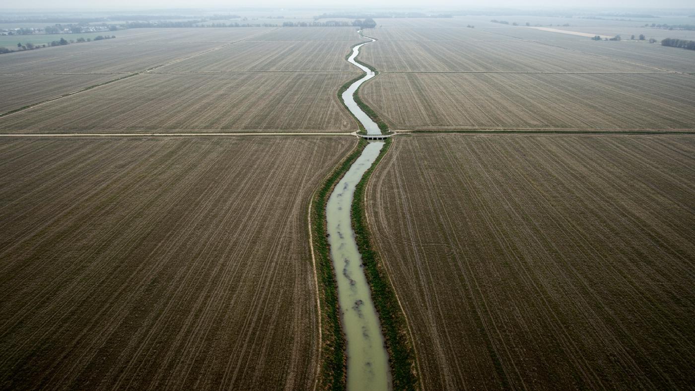
- Water Source: Availability is vital, and proximity to different types of resources which including brackish and sea waters is critical. Also different water qualities greatly impact facility locations and operational processes.
- Climatic Conditions: Ideal atmospheric temperature conditions are essential as extremes lead to high cost of management that directly affect systems economical stability as well as their environmental sustainability.
- Terrain: Areas characterized by a modest elevation and only mild slopes make building/access easier than extremely steep ones.
- Infrastructural Elements: Sites need to be located next to basic utilities like electric power or wastewater, and other crucial amenities for day to day business.
- Market Reach: Nearness to large population center greatly improve accessibility that increases possible customers. Transportation needs of products, inputs from production units have important logistic impacts to operational and sustainability purposes.
- Land Suitability: It is crucial to check current land uses with selected locations to ensure minimum issues during development processes.
Using such variables we are better positioned to understand both physical features/potential limitations while understanding impact in social/economic framework and operational aspects.
Specific Aspects:
GIS systems allow better assessment on:
- Distance Metrics: The calculation of distances using geospatial tech helps to accurately understand distance proximity with resources.
- Terrain Modeling: Analyze topography to define best fitting building site in challenging terrains using Digital elevation maps.
- Data Integration: Merging distinct types of data in order to enable simultaneous review while increasing effectiveness for optimal resource distribution during the site choosing processes.
- Proximity Analyses: These tools make identification easier of sites nearest the power grids, roads and wastewater systems thereby reducing extra setup costs while guaranteeing operational smoothness.
- Mapping of Constraints: Using geographic system map constraints in a manner that ensures protected or archaeological or protected areas are kept off site plan which maintains full regulation compliances.
By making GIS functions crucial this ensures all steps are made accurately. It also make for improved planning for practical aquaponics settings and helps identify optimum locations.

Case Study: Site Analysis in Emilia-Romagna
An Italian province was a test of a GIS model implementation. A process including experts was crucial to making decisions that allowed identification of factors, to assess their relative significance and to fine-tune system modeling parameters. An ideal region was studied using a 50 x 50 m cell to precisely determine levels of suitability and each level given values between zero to eight according to suitability to determine land practicality of every place. The system had also a Boolean approach which screened-out lands by excluding places falling into certain limitations of suitability from location planning. This method made site selections transparent ensuring system functionality as well as viability was based on actual site characteristics.
Results
Results made apparent the fact most of lands fell below threshold of acceptability thus demonstrating the need to meticulously pick lands while indicating vast areas with notable suitability score demonstrating feasibility for using these sites when developing such facilities. Location decisions for system have greater dependency in terms of its placement when situated around bigger urban regions near seas or other regions like river plains as these regions show combination of all characteristics most often needed for project execution as demonstrated during land assessment tests for suitability that was carried-out here in context.

This analysis identified key site selection locations highlighting how critical parameters affect site appropriateness. It has created better insights when evaluating for placement suitability across several geographical regions. Moreover, such methods can also assess sustainability/efficiency potentials which could enable more knowledgeable resource deployment at the implementation level for operations using aquaponics.
Validation Through Sensitivity Analysis
The integrity of a site evaluation process which has been demonstrated for the selection of land for the aquaponics must rely in how sensitive to varying inputs and different factors, since those are decided via expertise evaluation which does carry some degree of personal assessment as that must be a valid factor during project. With that, such methods must then withstand variations by way of analysis based in different metrics such as changing every assessment metrics independently through varied increments that are often evaluated by altering parameter/ weight for chosen variables as this is carried on and monitored. When weights are incrementally changed in this manner to up to twenty percent we learn sensitivity behavior on every model that results in different behaviors related to variables. For most parts they can be either sensitive or un sensitive according the variation patterns it develops on final result based on weighting.
Some results will lead to marked effects thus making very critical and very much worth considerations where-as un sensitive elements demonstrate low influences overall and can be given lower precedence during decision making processes. Using one at time tests for a sensitivity we have seen consistency with criteria prioritized during expert evaluation which then supports model precision thus allowing validity assessment for analysis while showcasing high precision while using multiple metrics all at once using geographical system that uses complex site assessment with confidence and in a reliable way.
Looking Ahead
As interest in environmentally conscious methods increases and when aquaculture develops there will be increased utilization of the combined strength found with geographical information systems and multiple criteria assessment during location assessments for aquaponics. The tools and approach offer complete methods of evaluation thus facilitating more well placed efficient facilities, and all decisions using spatial technologies help ensure maximum resource productivity while supporting long-term sustainability of any aquaponic implementations. GIS has the role to act beyond mere location as it develops into a tool for development on eco-conscious strategies that are based around efficient food production and in-turn sustainable communities worldwide that have increased their resource deployment based on strategic analysis on suitability and viability. This has the prospect of improving approaches using geographic knowledge when trying to resolve food requirements by ensuring more sustainability at food output which becomes a viable global option. GIS also stands to continue having large influences into the decision-making in multiple domains, not just limited to farming thus enhancing operations through increased geographical insight.