Explore the world of GIS
GIS
February 13, 2025 • 11 min read • gis
Logistic Regression for GIS: A Technical Guide
Explore logistic regression in GIS. Learn to handle uncertainties & improve spatial analysis.
February 9, 2025 • 8 min read • shortest path
Shortest Path Algorithms in GIS Route Planning
Shortest path algorithms in GIS for optimal routing. Explore graph theory & spatial data insights.
February 3, 2025 • 12 min read • graph theory
GIS Data Modeling using Graphs Theory: Applications in GIS
Explore how graph theory powers GIS: network analysis, spatial relationships & route planning for data insight
January 31, 2025 • 10 min read • wind resource assessment
Geospatial Wind Resource Assessment: WRAs with GIS
Geospatial tech for wind energy assessment, from resource mapping to turbine optimization and future strategies.
Remote Sensing
January 29, 2025 • 9 min read • remote sensing
Landsat 8 & Advanced Modified Bare Soil Index
Advanced bare soil detection using remote sensing and the Modified Bare Soil Index.
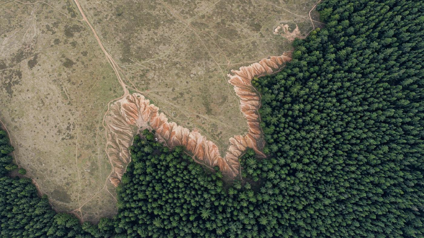
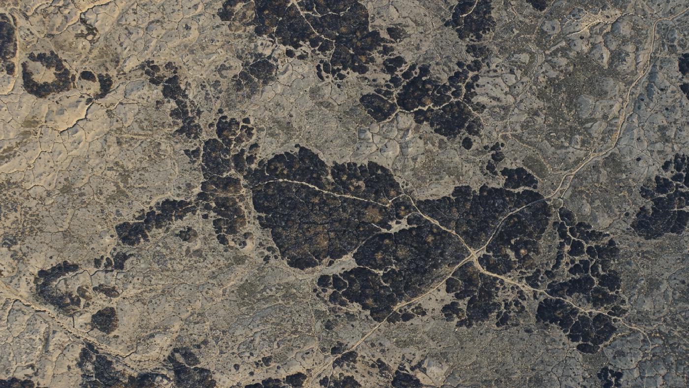
January 27, 2025 • 7 min read • burn mapping
Open-Source GIS for Post-Fire Analysis
Scale burn severity: drone maps to satellite. Open-source GIS, Python for post-fire analysis.
June 8, 2024 • 7 min read • remote sensing
High-Res Insights: Sentinel-2 Multispectral Imagery
Sentinel-2: Exploring Earth’s surface analysis with multispectral data.
May 5, 2024 • 17 min read • remote sensing
Create Land Cover Maps Like a Pro: Using Sentinel-2 and Machine Learning
Land cover classification using Sentinel-2 imagery and applying supervised minimum distance algorithm and machine learning approaches
Python
January 23, 2025 • 10 min read • waterpybal
WaterpyBal: Open-Source Groundwater Modeling with Python
WaterpyBal: open-source Python for groundwater modeling and water balance assessments
September 1, 2024 • 3 min read • Python
Geospatial Data Processing with Python: A Network Data Case Study
Learn how to handle missing values and mismatched data in network datasets.
Geospatial Science
February 6, 2025 • 9 min read • gis
GIS Coordinate Systems & Transformations Explained
GIS transformations: Coordinate systems and their applications for accurate spatial data analysis.
February 4, 2025 • 9 min read • gis
GIS vs Remote Sensing: Key Differences
Key differences between GIS and remote sensing technologies explained. Understand data and analytical tools.
February 2, 2025 • 14 min read • spatial modeling
GIS Spatial Data Modeling Fundamentals
Beginner's guide to spatial modeling in GIS: understand concepts and real-world applications.
October 26, 2024 • 6 min read • Geospatial
Real-Time Positioning Accuracy with GPS RTK Technology
Learn how GPS RTK enhances positioning accuracy in real-time applications
Spatial Tech